7 Days Rongai Route - Kilimanjaro Trekking Tour
Experience the ultimate Kilimanjaro trekking adventure with our professional 7 Days Rongai Route tour. Expert guides, quality equipment, and guaranteed summit success.


7 Days Rongai Route - Tour Overview
7 Days
12+
Shared tour
Mid-Range Accommodation
7 Days Rongai Route - Detailed Overview
The 7-Day
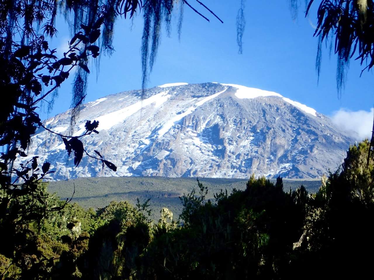
Rongai Route offers a serene and scenic northern approach to Mount Kilimanjaro,
perfect for trekkers seeking a quieter, less crowded experience. Beginning at Rongai
Gate, the trail winds through lush montane rainforest, open moorlands, and
dramatic alpine desert landscapes, providing a full journey across
Kilimanjaro’s diverse ecological zones.
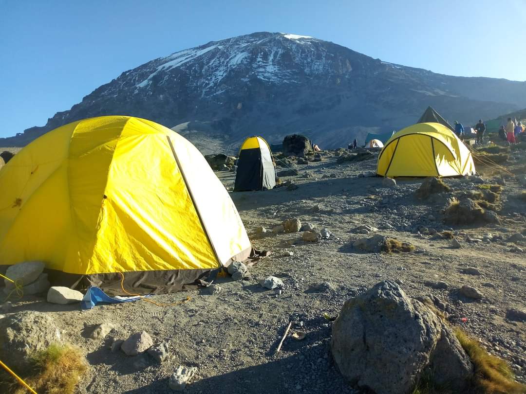
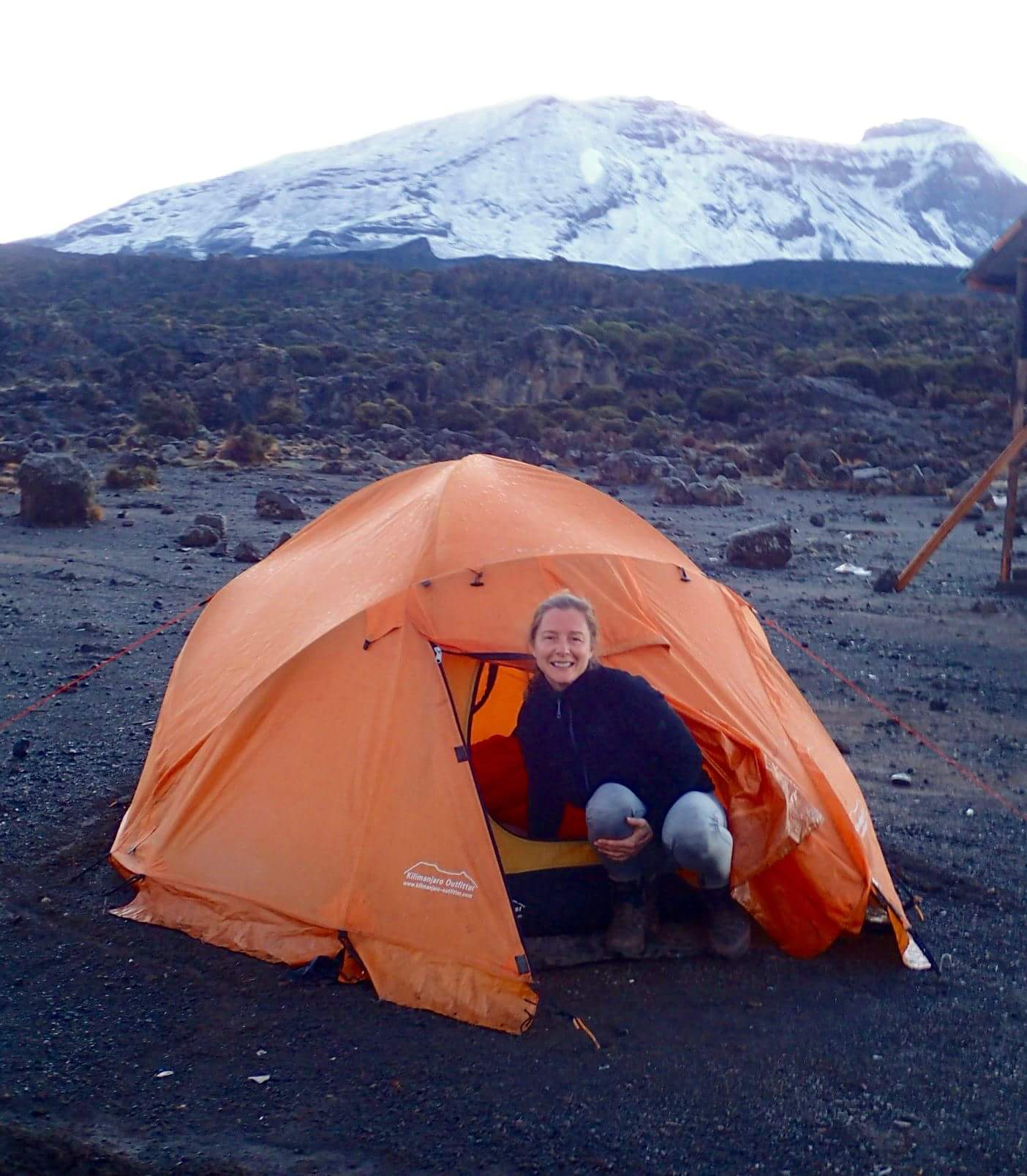
This
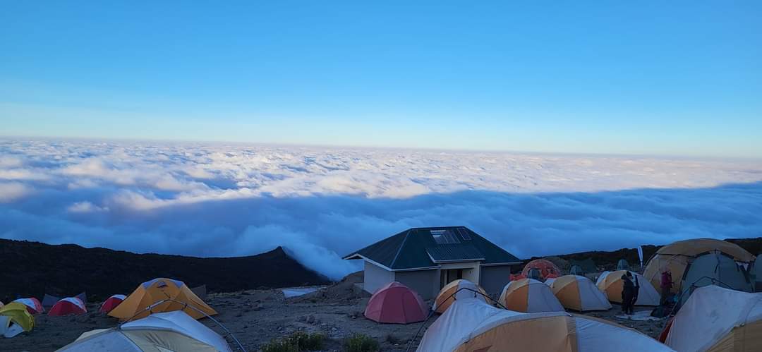
itinerary includes key high camps such as Kikelelwa Caves and Mawenzi Tarn Hut,
allowing climbers to acclimatize effectively before attempting the summit. The
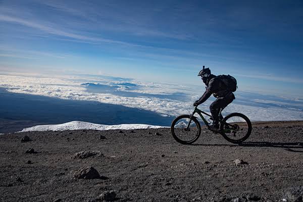
route showcases spectacular northern vistas of Kibo and Mawenzi Peaks, giant
lobelias, volcanic ridges, and panoramic alpine desert scenery, making it a
favorite for photographers and adventure seekers.
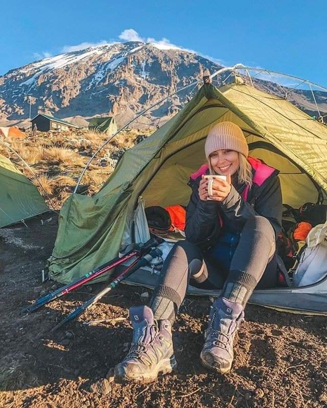
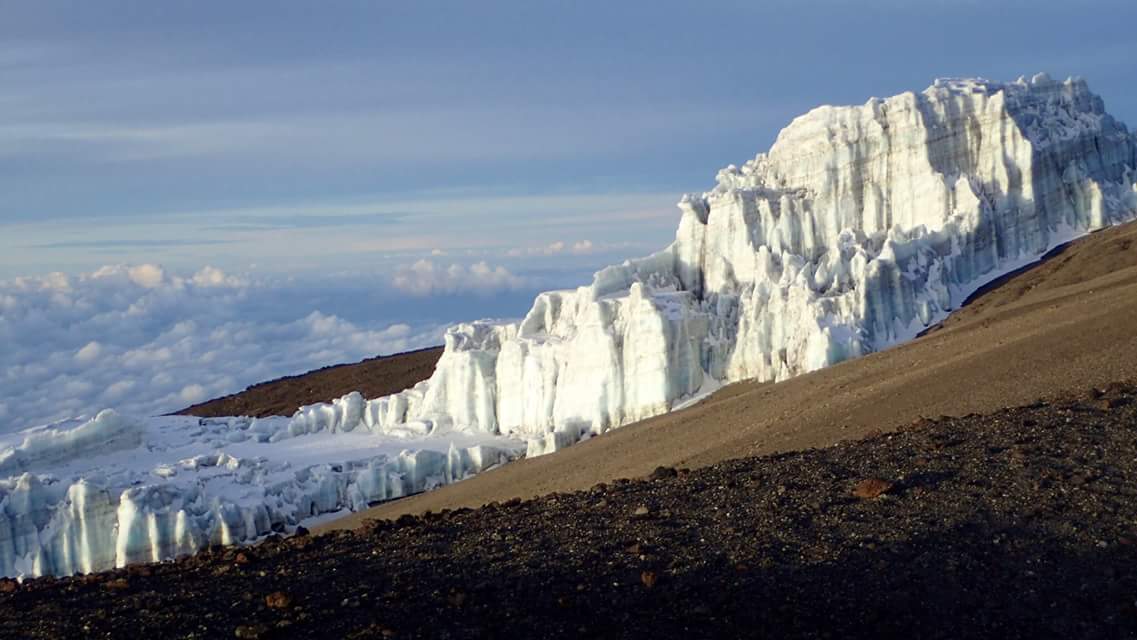
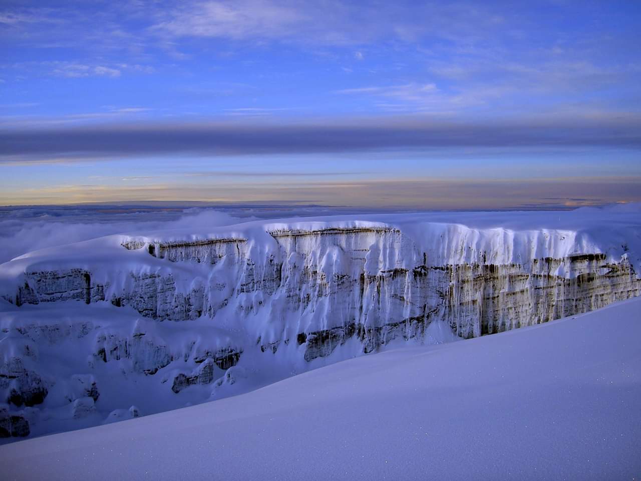
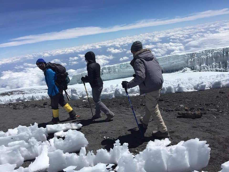
On summit
night, trekkers depart from Kibo Hut for a challenging yet rewarding ascent to Uhuru
Peak (5,895m), Africa’s highest point, with breathtaking sunrise views over the
crater rim and glaciers. After celebrating the summit, the descent follows
through Horombo Hut down to Marangu Gate, passing rainforest and heath zones
while enjoying the final moments of Kilimanjaro’s unique wilderness.
Ideal for first-time
climbers and experienced trekkers alike, the 7-Day Rongai Route combines gradual
ascent, remote high camps, and stunning scenery to maximize summit success and
create an unforgettable Kilimanjaro adventure.
7 Days Rongai Route - What's Included
7 Days Rongai Route - Daily Itinerary
You will be picked up from the
airport. From there you will go to the hotel in Moshi for an orientation on
your trek. Your guides will be there to provide you with details on your trek
and will also check your trekking gear.
Distance:
8–10 km | Hiking Time: 3–4 hrs.
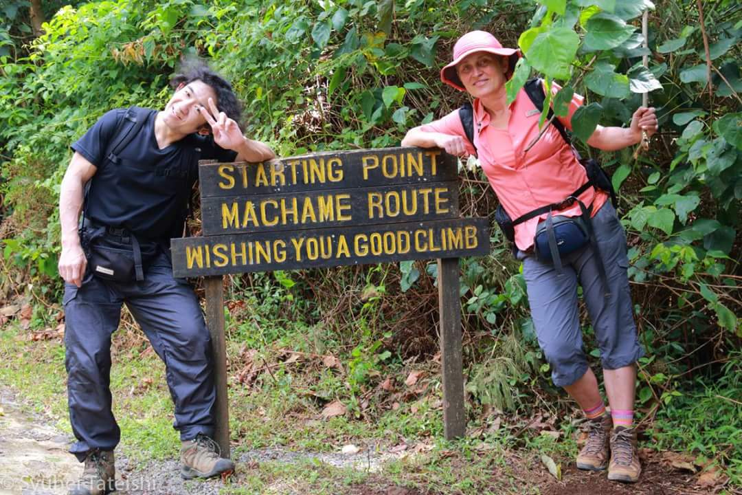
Route: Start at the quite northern Rongai
Gate. Trek through lush montane rainforest, crossing streams and spotting
monkeys, birds, and unique flora.
Highlights: Peaceful northern approach, gentle
start for acclimatization, scenic forest environment.
Distance:
8–9 km | Hiking Time: 5–6 hrs.
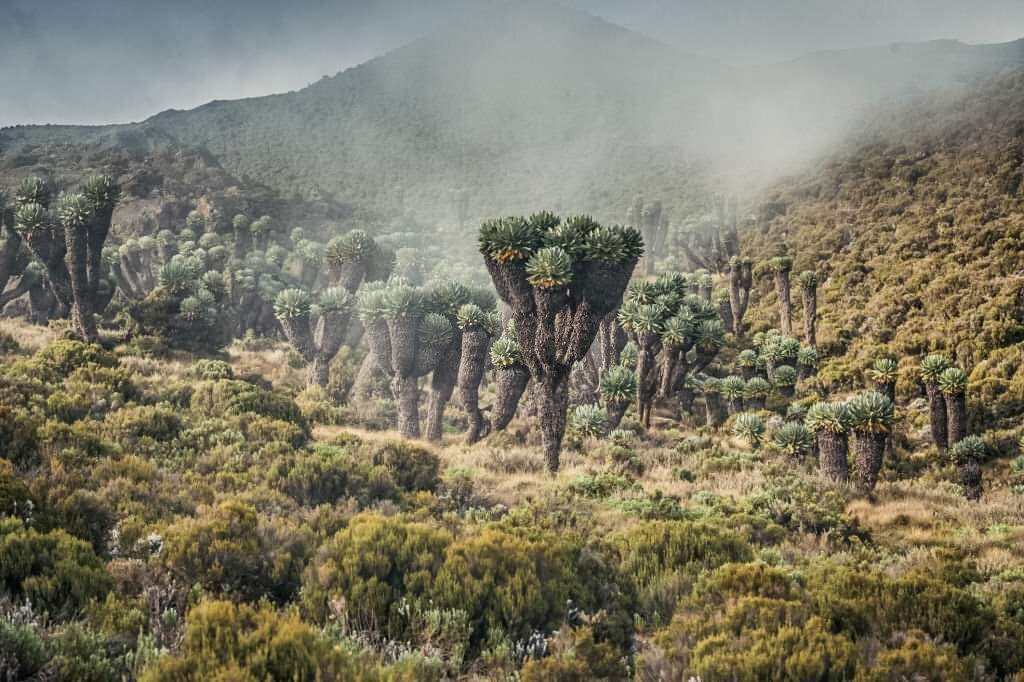
Route: Gradual ascent through heath and
moorland zones, passing giant lobelias and alpine vegetation. Open views of Kibo
and Mawenzi peaks start to appear.
Highlights:
Excellent acclimatization day, wide open landscapes, northern slopes with
minimal crowds.
- Distance: 12 km | Hiking Time:
5–7 hrs.
- Route: Trek across alpine desert,
volcanic ridges, and sparse vegetation. Arrive at Kikelewa Caves, a serene
and remote campsite.
- Highlights: Stunning northern
vistas, peaceful wilderness, perfect altitude preparation for Mawenzi
Tarn.
Distance:
7–8 km | Hiking Time: 4–6 hrs.
Route: Continue ascending across alpine desert
terrain, approaching the base of Mawenzi Peak. The trail is rocky and dramatic.
Highlights:
High-altitude acclimatization, spectacular views of Mawenzi and Kibo, remote
and scenic high camp.
Distance:
5–7 km | Hiking Time: 4–5 hrs.
Route: Trek from Mawenzi Tarn Hut toward Kibo
Hut, descending slightly and traversing barren alpine desert. This allows your
body to rest before the midnight summit attempt.
Highlights: “Climb high, sleep low”
acclimatization strategy, views of Kibo glaciers, preparation for summit
night.
Distance:
15–18 km | Hiking Time: 12–14 hrs.
Route: Start midnight ascent to Uhuru Peak.
Climb steep scree and volcanic slopes to Gilman’s Point, then continue along
the crater rim to Uhuru Peak. After sunrise, descend past Kibo Hut to Horombo
Hut.
Highlights: Sunrise at Uhuru Peak, glaciers,
crater rim views, highest point in Africa, rewarding descent to Horombo.
- Distance: 19 km | Hiking Time:
4–6 hrs.
- Route: Final descent through heath
and rainforest, passing giant trees and streams. End at Marangu Gate for
certificate and celebration.
- Highlights: Forested trails,
changing ecological zones, wildlife sightings, reflection on successful
summit.
7 Days Rongai Route - Pricing per Person
| Season | Solo | 2 Persons | 3 Persons | 4 Persons | 5 Persons | 6 Persons | 6+ Persons |
|---|---|---|---|---|---|---|---|
January to December |
$2200 | $2150 | $2100 | $2050 | $2000 | $1980 | $1950 |
Similar Kilimanjaro Trekking Tours